From the Frontier of Data to the Frontlines of Land Use
The Land & Carbon Lab is an innovation platform for geospatial data and monitoring of the world’s land and nature-based carbon. We harness breakthroughs in geospatial monitoring to help governments, businesses, and communities worldwide deploy solutions for sustainable landscapes on the ground.
Land & Carbon Lab is led by World Resources Institute and the Bezos Earth Fund, in collaboration with many partners.
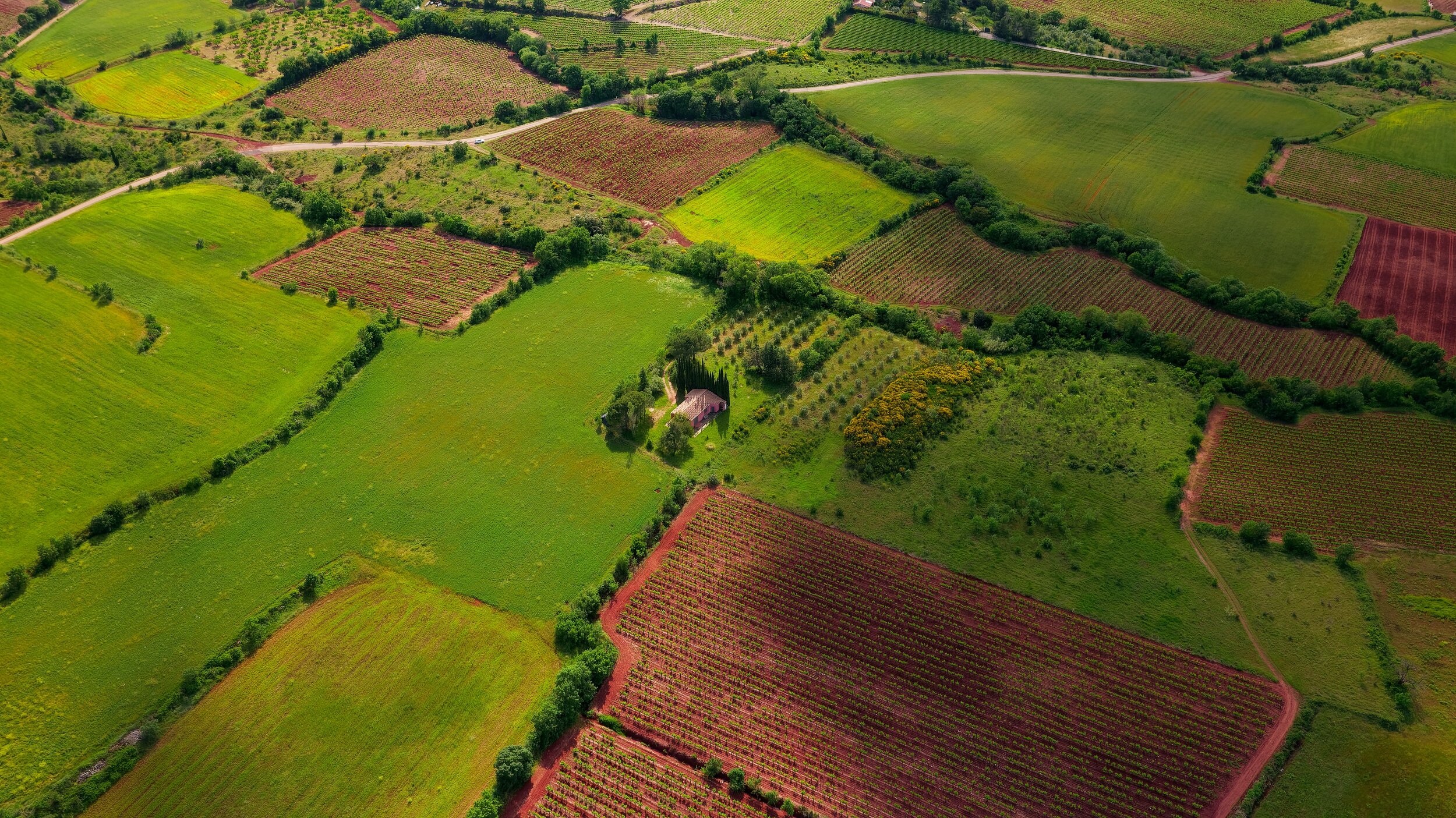
Monitoring the world’s land and its nature-based carbon
At Land & Carbon Lab, we believe that what’s measured gets managed. That’s why we’re developing innovative new geospatial data sets to monitor the world’s land and nature-based carbon.

Partnering to turn data into impact
We are working with diverse partners, connecting those at the vanguard of land monitoring with those at the frontlines of land use decisions.
Photo credit: Jane Goodall Institute/Flickr

Generating insights for collective accountability
We analyze geospatial data to generate independent insights about the changing state of the world’s land, and how more sustainable landscapes can help us achieve this decade’s climate, nature and sustainable development goals.