
Independent Insights for Collective Accountability
Featured


To sustain a growing population while managing the global land squeeze, we need to produce more crops on less land with less water. An updated model called SPAM produces globally consistent maps of crop areas and yields that are pivotal for developing sustainable supply chains and achieving food security.
Apart from forests, many of the world’s vital ecosystems remain largely unmonitored. In a major step toward comprehensive ecosystem monitoring, a groundbreaking new land surface disturbance monitoring system, known as OPERA DIST-ALERT, detects disturbances to any kind of vegetation cover, including forests, grasses, shrubs and even crops, occurring anywhere on Earth in near real-time
Mapping all tree cover is vital for monitoring deforestation, restoration and trends in global land cover change. However, doing so has proven challenging: Patches of trees may cover a smaller area than individual satellite pixels. A newly updated data set available on Global Forest Watch, Tropical Tree Cover, uses higher-resolution data to map trees inside and outside of dense forests.
Learn more at World Resources Institute
It is more important than ever to limit human conversion of natural lands. WRI’s Land & Carbon Lab collaborated with the Science Based Targets Network Land Hub to lead the development of a new Natural Lands Map that companies can use to eliminate conversion of all natural terrestrial ecosystems within their supply chains.
In this webinar, we introduced Land & Carbon Lab’s newest research consortium Global Pasture Watch, discussed the current state of global pasture and livestock mapping, and discussed how bringing together diverse perspectives and expertise we can more effectively promote sustainable grassland management and develop solutions that benefit both people and the environment.
Watch the recording at World Resources Institute
Forests are a net carbon sink globally, but there’s huge variation locally. Our analysis finds that forests managed by Indigenous people in the Amazon were strong net carbon sinks from 2001-2021, underscoring the need to help Indigenous people and other local communities safeguard their forest homes and preserve some of the Amazon’s remaining carbon sinks.
Learn more at World Resources Institute
More and more of the crops the world harvests are being used for things other than directly feeding people. A recent analysis shows that only 37% of the harvested area of major crops are used for direct food consumption, disproportionately affecting food-insecure communities. The global agricultural system will need a course correction if we are to feed growing populations while also curbing deforestation and climate change.
Learn more at World Resources Institute
Can we unlock billions of dollars of climate finance for nature-based solutions this decade? Not if we can’t measure, report, and verify (MRV) the carbon impacts of our interventions. WRI’s Land & Carbon Lab is developing open access data solutions to improve the accuracy, precision, transparency, and cost-effectiveness of MRV at project, jurisdictional, and global scales.
Watch the recording and learn more at World Resources Institute
Understanding changes in land cover is essential to understanding the global land squeeze. At a global scale, land cover changes can seem small and gradual, but these continuing changes can have big impacts for climate, nature and people. Cutting edge data shows key changes that may seem small but have important implications for our collective future.
The State of Climate Action 2022 report provides a comprehensive assessment of the global gap in climate action across the world’s highest-emitting systems, highlighting where recent progress made in reducing GHG emissions, scaling up carbon removal, and increasing climate finance must accelerate over the next decade to keep the Paris Agreement’s goal to limit warming to 1.5°C within reach.
Learn more at World Resources Institute
Humanity cannot limit global warming and become more resilient to climate change without protecting and restoring nature. It’s well known that protecting forests is critical, but conversion of other ecosystems has major climate impacts as well. The pathways to achieving net zero emissions from the land sector by 2030 require elimination of emissions from deforestation as well as from conversion of wetlands, peatlands, savannas and natural grasslands.
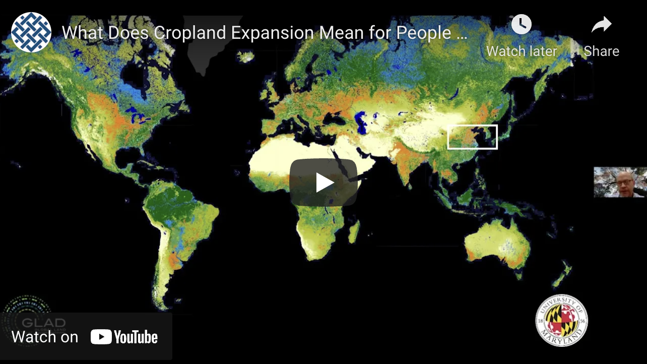
Watch to learn more about the complex nature of global cropland expansion and the implications for people and the planet. You’ll hear details from the data developers about the first-ever high-resolution maps of global cropland extent and change as well as plans to continue to update this information via WRI’s Land & Carbon Lab. Experts shared their perspectives on food production and critical considerations as the world attempts to decouple food production from global cropland expansion.
Watch at World Resources Institute
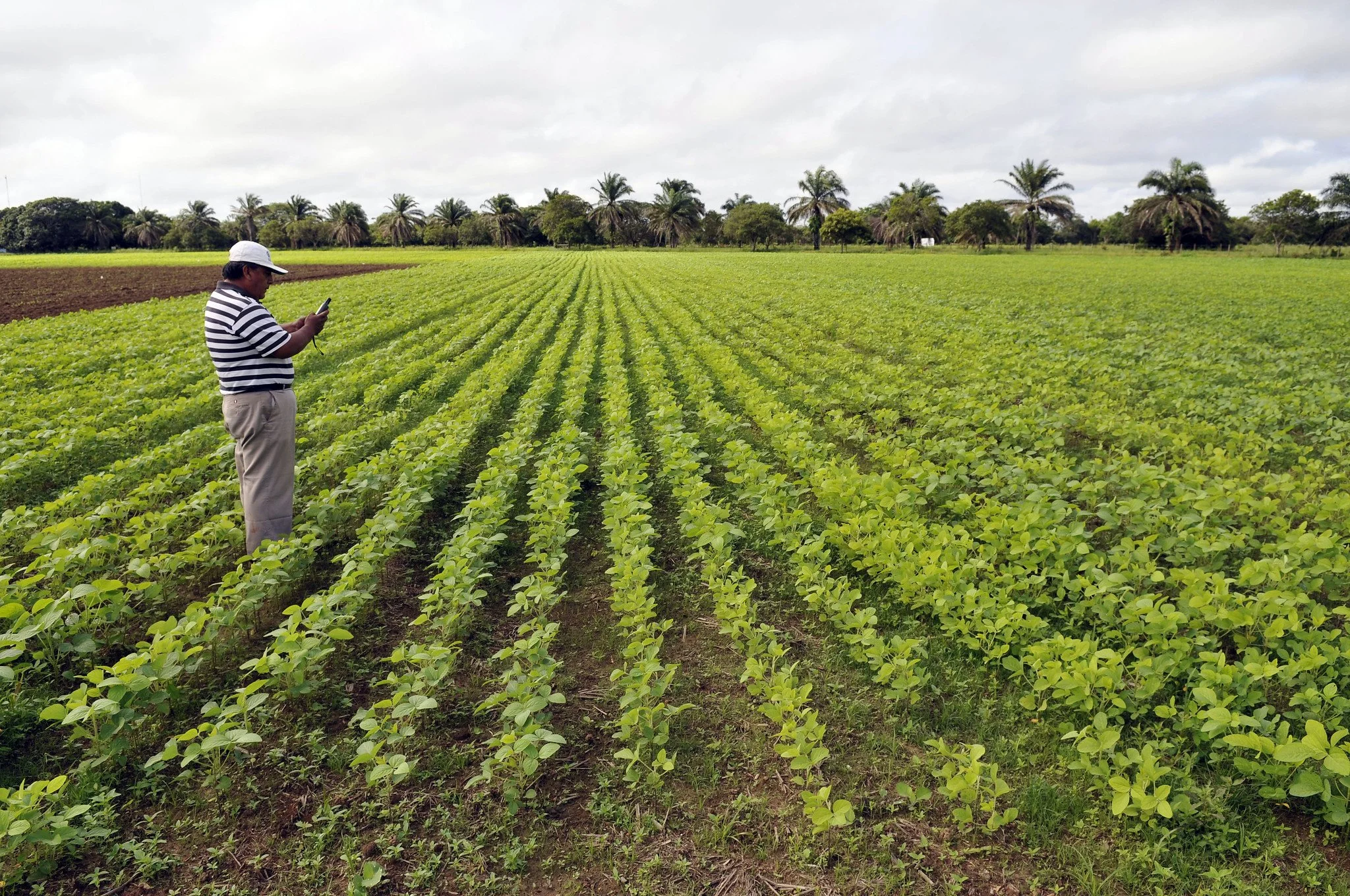
According to a landmark new study, 102 million hectares (Mha) (252 million acres) of land — an area the size of Egypt — have been converted to crops since the start of the 21st century. To put this into perspective, while it took more than 8,000 years for humanity to convert 1.1 billion hectares (2.8 billion acres) of nature into cropland by the year 2000, it took a mere 20 more years to expand this area by another 10%.
Learn more at World Resources Institute
Rising population and demand for food, feed, fiber and fuel are increasing competition for a finite amount of land. At the same time, humanity needs to protect and restore land to fight climate change, prevent biodiversity loss and sustain other ecosystem service benefits that people depend upon from nature. A four-part approach, Produce-Protect-Reduce-Restore, aims to address this land squeeze in a manner that is good for people, planet and prosperity for all.
Read more at World Resources Institute
Watch the Land & Carbon Lab introduction event from late 2021. In this recording, you’ll hear from WRI and partners, including scientists and technologists, on plans to build and deploy a comprehensive global land monitoring system. The team also previews new data and showcases the information that will ultimately create unprecedented transparency about what is happening to the world’s land at any point on the planet, at any time.
Watch at World Resources Institute
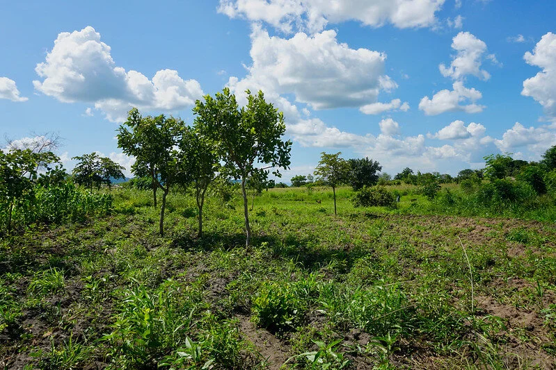
New preliminary tree cover data developed by World Resources Institute shows where billions of trees outside dense forests – previously invisible to governments, investors, and the public – are growing across 1.4 billion hectares of Africa and Latin America (an area 50% larger than Europe). Most importantly, this trees in mosaic landscapes data gives credit to the local communities whose work protecting and restoring trees outside of primary tropical forests has long been undervalued and underfunded.
Learn more at World Resources Institute
New research, published in Nature Climate Change and available on Global Forest Watch, found that the world’s forests sequestered about twice as much carbon dioxide as they emitted between 2001 and 2019. In other words, forests provide a “carbon sink” that absorbs a net 7.6 billion metric tonnes of CO2 per year, 1.5 times more carbon than the United States emits annually.
Learn more on Global Forest Watch
New global maps on GFW provide spatially explicit data on emissions, removals and net carbon fluxes from forests. Whereas previous models only estimate forest carbon fluxes for entire countries or regions, the 30-meter resolution of this data allows users to consistently analyze carbon dynamics in forests down to the local scale.
Learn more on Global Forest Watch
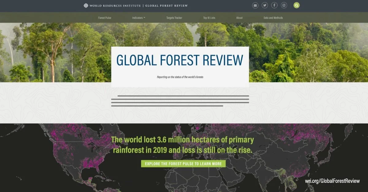
The Global Forest Review (GFR) is a living online report providing the latest information on the state of the world’s forests. Unlike other reports that compile statistical data reported by governments, the GFR draws primarily on global-scale geospatial data derived from analysis of satellite imagery.
Learn more on the Global Forest Review
By 2050, nearly 10 billion people will live on the planet. Can we produce enough food sustainably? The report offers a five-course menu of solutions to ensure we can feed everyone without increasing emissions, fueling deforestation or exacerbating poverty. Intensive research and modeling examining the nexus of the food system, economic development, and the environment show why each of the 22 items on the menu is important and quantifies how far each solution can get us.
Learn more at World Resources Institute